Before the County Line: How Boundaries Became Map Features
County boundaries became map features through records, surveys and repeated use. Learn how to distinguish historical lines from current administrative ones.
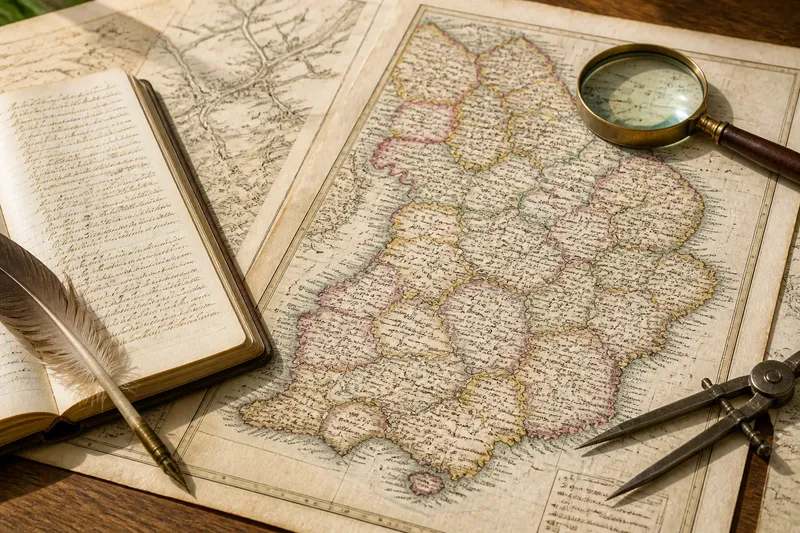
County boundaries became map features when written descriptions and administrative records were translated into lines that mapmakers could reproduce. In England, the Domesday survey of 1086 recorded land and resources by county, while later maps gave those territorial divisions a visible form; neither source should be mistaken for a modern, precisely surveyed boundary.
The shift was not a single moment when a line suddenly became fixed. Records served particular purposes, and mapmakers selected how to depict them. To read a county line well, identify what period and kind of boundary it represents, then separate the map’s evidence from what you infer.
How did county boundaries become map features?
England’s counties pre-date printed county maps. The Domesday survey, commissioned under William I, organised much of its account by county and listed places within that administrative framework. It is a concrete example of counties being used to order information, not a map that drew or settled every county edge.
In later centuries, written descriptions, local knowledge and administrative practice helped identify territorial divisions. Mapmakers could turn named places and landscape features into a drawn outline. The line made a complex arrangement easier to see, but its apparent precision depended on the sources and methods behind the map.
Printed county maps became more common from the early modern period. Christopher Saxton’s atlas of England and Wales, published in 1579, included county maps. It shows how county divisions could be represented visually for readers, but it does not establish that every boundary on it matched a modern administrative line or had been surveyed to modern standards.
These examples show different stages: records organised places by county, and maps presented counties as visible areas. They do not support a single account of how every boundary originated. A particular line needs to be checked against evidence for its place and period.
Why can the same county line mean different things?
A map’s county outline may represent a historic county, an administrative area current at the time of publication, or a simplified reference boundary. The word “county” does not identify which one without context. Administrative responsibilities can also change while a historic county name remains in use.
Two maps can therefore disagree without either being carelessly made. One may preserve a historic division; another may show a later administrative arrangement. A road atlas might simplify a narrow bend, while a map made for another purpose may give more detail.
Before comparing lines, note the map’s date, title, legend and stated purpose. If it has no date or source note, treat fine distinctions as uncertain. A sharp printed stroke is not, by itself, evidence that the location was precisely established.
How did written descriptions become drawn lines?
A description might refer to a stream, road, ridge, parish edge or sequence of named places. A mapmaker had to interpret those references and render them at a particular scale. A line based on a feature can look clear on paper even when the source description leaves room for interpretation.
Later mapmakers might copy an earlier map, consult another record or use a different survey. The result could retain an older boundary, clarify its course or depict a distinct administrative arrangement. Unless the map identifies its sources, the line alone cannot tell you which process took place.
Keep the map’s claim separate from your reading of it. If a boundary crosses open ground, it might follow a recorded division or a cartographic convention; the graphic does not settle the question. Look for a legend, source note or accompanying record before describing the line more precisely.
What should you check when two county maps disagree?
Compare the sources in a consistent order. For each check, use the result to decide whether the map answers your question or whether you need another source.
- Observe the title and legend. If they identify an administrative map, use it for that map’s stated administrative purpose; if they describe roads or land parcels instead, do not treat its county line as definitive.
- Observe the date or edition. If the map is dated, compare it with sources from the same period; if it is undated, record that uncertainty and avoid using it alone to settle a historical change.
- Observe any source note. If it names an authority, survey or record, follow that source where possible; if no source is given, treat the line as an unsupported depiction rather than a conclusive boundary.
- Observe the county labels around the place. If the labels distinguish historic and administrative counties, compare like with like; if they do not, check the map’s terminology or seek a source that does.
- Observe the scale and line thickness. If the line covers a junction or narrow strip, use a larger-scale map or underlying record; if the map is only regional, report the location as approximate.
- Observe whether the disagreement concerns a current responsibility. If it does, consult the relevant council or public authority’s current mapping; if it concerns historical geography, compare dated historical sources instead.
Say you are checking a village shown in a hypothetical old atlas and a hypothetical current authority map. The atlas is labelled as a county map but gives no precise boundary source; the current map names the administrative area responsible today. First, record each map’s date or the fact that the atlas is undated. Next, check the atlas legend and note that it does not specify whether its county is historic or administrative. Then use the authority map only to answer the present-day administration question. The resulting answer is limited but clear: the authority map identifies the current administrative area, while the atlas’s county label cannot settle the village’s historic affiliation without a dated historical source.
How can you tell what a boundary line claims to show?
Read the legend for distinctions between county, parish and district lines. Check whether colour, line weight or labels are explained; an unexplained symbol is not enough to identify a boundary type.
Consider the map’s purpose and extent as well. A map focused on administrative coverage may emphasise county edges. A broader regional map may show them only as context. Visual prominence does not establish legal authority or precision.
For a current question about services or responsibility, consult the relevant public authority’s current information. For historical interpretation, use dated maps or records from the period and state what kind of county division they describe.
What questions help settle a county-boundary map puzzle?
Does a county boundary always follow a visible landscape feature?
No. Some boundary descriptions use features such as streams or ridges, while others do not follow an obvious feature on the ground. A map may also simplify a description that refers to several places.
Can a map show a county line without defining it precisely?
Yes. A general map may show a county as a reference area rather than locate its edge precisely. Check its purpose, scale and source before relying on the line for a detailed location.
Why do present-day maps sometimes use different county labels?
They may show different kinds of county, such as historic geography and current administration. Check the map’s terminology, and use the relevant authority’s current information when the question concerns a present-day service.
Which map should I trust if the lines disagree?
Choose the source that fits the question, rather than automatically choosing the newest or most detailed map. Current administrative questions call for current official information; historical questions call for dated sources that explain what they depict.
How should you describe an uncertain county line?
State what the evidence supports and name the source. “This map places the village in the historic county” is clearer than “the village is in the county” when the administrative meaning is uncertain. If sources disagree, identify their dates and describe the difference rather than forcing a single answer.
For a county boundary map, the most useful habit is to keep the map’s date and purpose attached to every claim. A line becomes meaningful through the records and conventions that explain it; without those, describe what the map shows, not more than it can establish.